
History
There are two parts to the History: first [but shown last in the list] is a series of articles by Dr Stuart Nisbet entitled "Overview of Lands", and second [shown first] is a miscellaneous collection of other articles.

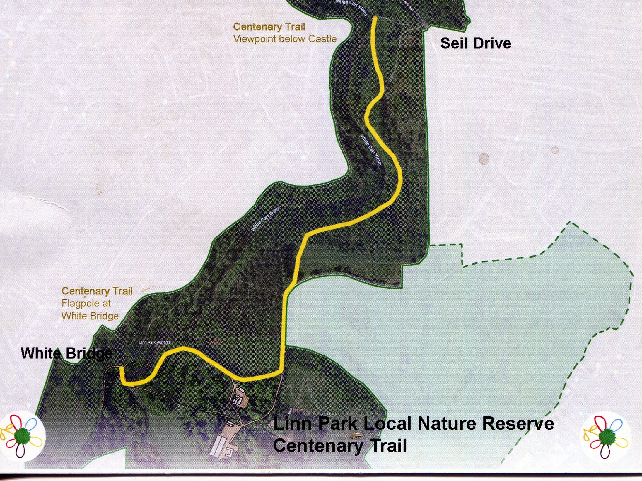 This article records our thoughts as we wandered from the Adventure Playground along to the entrance to Linn Park, and down to the White Bridge where the "Centenary Trail" starts and thence down to the end beside the river below the Castle.
The lands forming the park have a long history, and we mention some of the features which we find interesting.
Recently, the Linn Park Gentlemen's Walking Club received an email from New Zealand, to which we responded positively.
In essence it reads:
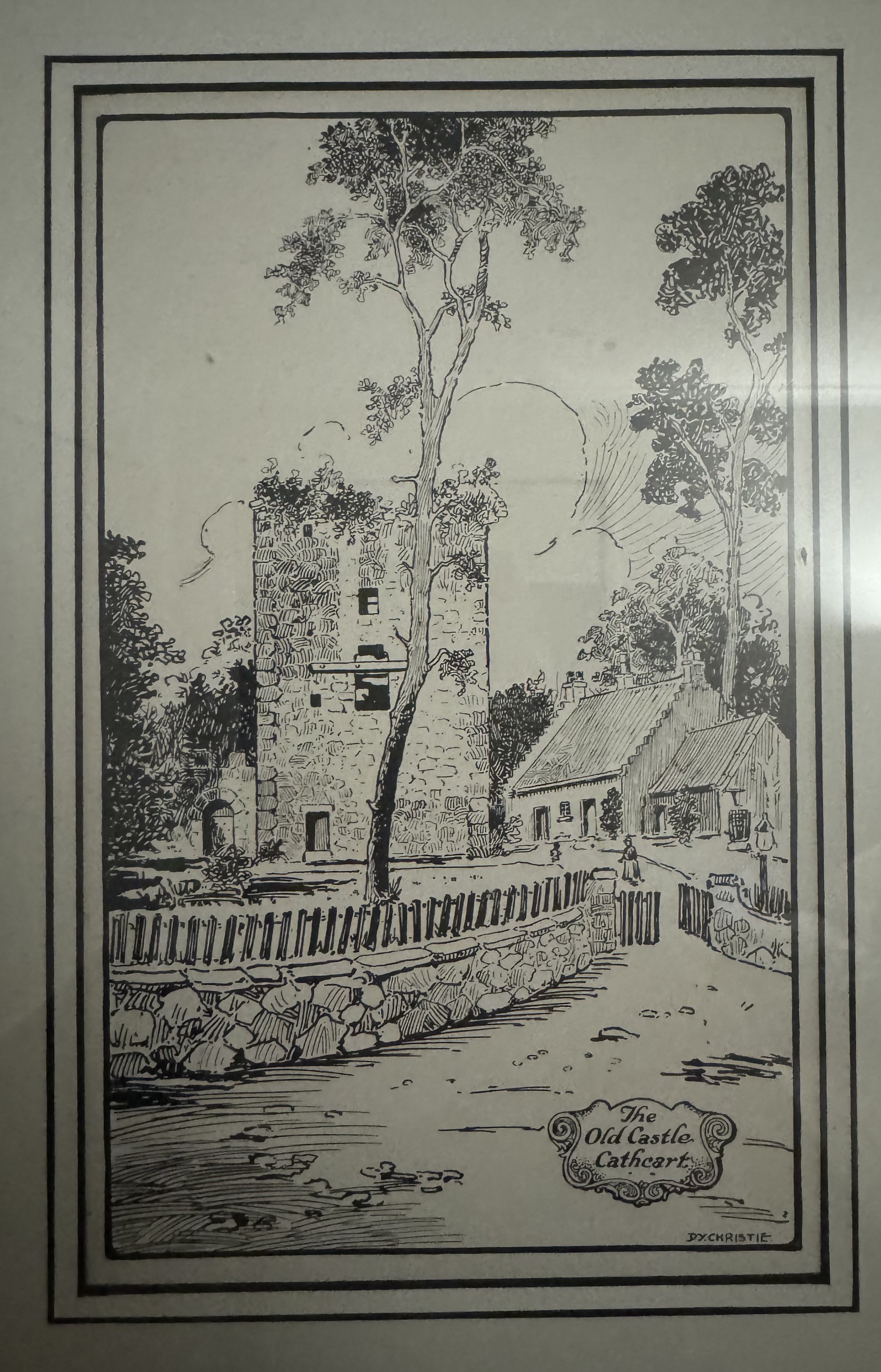 I’m hoping I’ve found finally the right people to be able to help me narrow down my search for a bridge that is not far from the Cathcart Castle, which I think I’ve managed to track down to Linn Park, and might be Snuff Mill bridge.
On Friday 10th June 2011, I was fortunate enough to meet a tourist holding a copy of this rare leaflet. The Cathcart Heritage Trail leaflet was published by Glasgow District Council circa 1990. Robert Paterson, a Canadian citizen whose family roots are in Glasgow, was over to see those roots. He was kind enough to lend it to me, so I rushed home and scanned it. This fortunate meeting was of course followed by a pint in the Old Smiddy !
 Why Cathcart ? or "By Cartha's Side"
To Evelyn
Who wanted to know if the Castle ever had a roof, who "lived there, when, and why "Cathcart"?
Here are the replies, somewhat belated, to those questions asked by my daughter when very young.
I could not answer them truthfully at the time and resolved to find out.
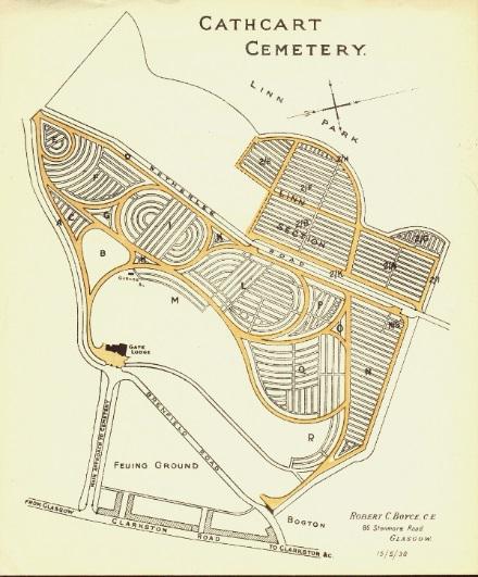 Cathcart Cemetery is a peaceful graveyard bordering Linn Park. Having opened in 1878, the cemetery has a number of beautiful gravestones and memorials dating back to the 19th Century nestled within a designed landscape setting. The cemetery is divided into two sections, the “old” Victorian section and the newer Linn extension, divided by Netherlee Road.
To put it simply "The Sugar Campbells" were and still are a remarkable family.
It was said of the aristocacy - which included the Sugar Campbells - (Guthrie-Smith, J. and Mitchell, J.O., 1878):
They enjoyed the first condition of an aristocracy - an unquestioned social supremacy... they had their faults, no doubt they were exclusive and intolerant, they carried things with a high hand, and altogether thought more of themselves than there was any need for. But their recognised position at least freed them from the temptation to a vulgar display of wealth and, if they had strong prejudices, and were as slow to take in new ideas as to admit outsiders to their circle, at least they had the courage of their opinions, and were outspoken, sometimes too outspoken, in expressing them.

These lovely Postcards were first sent to us by Brenda Hattie-Longmire in May 2017. They were in her late mother's possession, and as she was coming to Scotland anyway for a number of reasons, she arranged to meet with us as she wanted to see exactly where they were taken.
Initially there were five postcards, but on her return to Nova Scotia, she found a sixth of Cathcart New Parish Church - which she has sent. On the back of each of the Postcards there are lovely inscriptions which provide a clue as to where they were taken.
This article relies on the published works of "BTJustice" [aka Dave Campbell], which used to be found at: www.hiddenglasgow.com/forums/viewtopic.php?t=10106
Credits first:
Thanks to Schiehallion for the post on https://urbanglasgow.co.uk/the-battle-of-langside-t1118.html of December 27th 2008. And also to the 450 year Battle of Langside commemoration pamphlet from Langside Community Heritage, which triggered this article. [Note 10th Oct 2023: The images in the linked in article are no longer publicly available.]
See also http://portal.historicenvironment.scot/designation/BTL35 .
The Langside Heritage trail leaflet can be downloaded here: https://www.glasgow.gov.uk/CHttpHandler.ashx?id=32316&p=0 [as at June 3rd 2018].
There are a number of web sites featuring Linn Park and Cathcart.
Update: 29 November 2020. The ScotCities.com web site appears to be down. Fortunately it has been regularly acrhived by "the wayback machine" - and the latest archive was on 26th October 2020 - at http://web.archive.org/web/20201026044630/http://www.scotcities.com/.
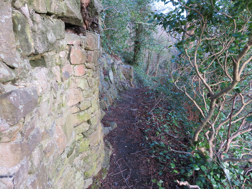
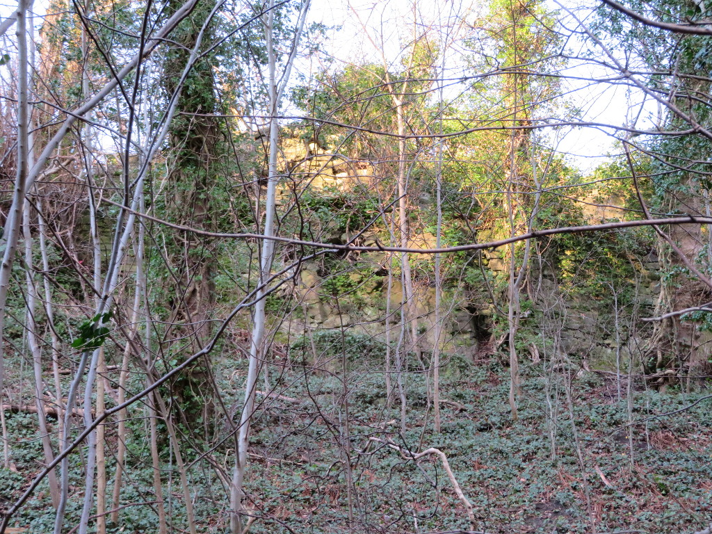
Recently, Scottish National Heritage cleared the bush and trees around the ruins.
Left a view along the path just below the Castle at the top of the cliff.
Right, the same path seen looking up the cliff from below beside the river.
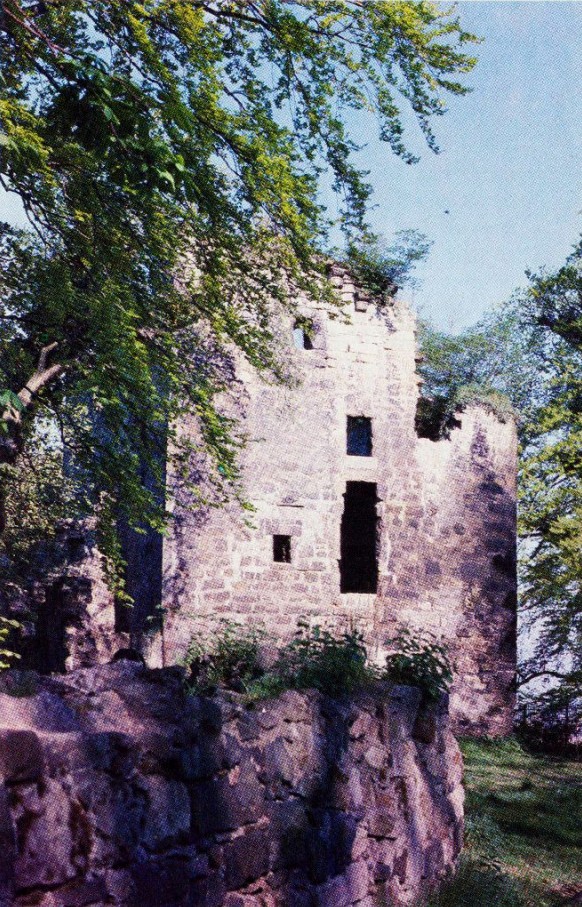 CATHCART CASTLE - Did it have to go? - Peter McDonald investigates
I was in the office of a Colleague when his phone rang. While he dealt with the call, I looked idly out of the window. It was a sunny August afternoon in 1980. My gaze happened to settle on Cathcart Castle about half a mile away.
By Dr Stuart Nisbet
Linn Park is a place to walk, to exercise, to take children, to observe wildlife and many other things. It is also a window into the past. A green space amidst suburbia. Yet the park is not an untouched paradise. Over the past few centuries the parkland that we see today has been worked, managed and improved. For its owners, it was not only a thing to be viewed, but a resource.
 Linn Park’s history is seemingly well known. A small number of oft-repeated ‘facts’ have appeared in many booklets, leaflets and guides. The focal point is Mary Queen of Scots, looking away from the park towards a distant battle. But does our view of the park need to be dominated by an oft-repeated story of a tragic Queen?

To begin to understand Linn Park, we need to know a little about the lands which make it up. Traditional historians of the area, notably Scott, Gartshore and Marshall, focussed on the Cathcart village end of the park and had relatively little to say about the park itself. Only in the current generation has the early history of the park been looked at seriously in its own right.
The 18th Century improvements to the lands forming the park saw the start of the industrialisation and mineral extraction activities, and the building of new houses: Cartside House (sometimes called Cathcart House) being one example.
The article reviews the four lands forming the park - Castlemains, Goldenlee, Hagtonhill, and Bogton.
The 19th Century saw a gradual change to the standard of rural life and improved farming that we all expect. It also saw the arrival of the Sugar Campbells - so called because of their involvement in the Caribbean. The history of the family has been provided by Geoff Daniel - an Australian landowner. This remarkable document is also referenced in the History section.
The article continues the story of Castlemains and introduces the Sugar Campbells and Linn House.
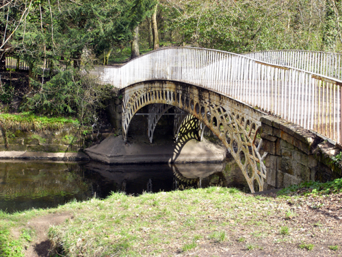
The traditional crossing point of the River Cart in the area was the bridge known as the Snuff Mill bridge, on the traditional main road from Glasgow to Ayr. Although there is a 1627 date-stone built into the bridge’s downstream face, and records confirm work was done to the bridge in the 1620s, there was already a bridge on the site back in the 1580s.
The buildings in Hagtonhill farmstead, in the golf course on the edge of the Top Wood survived into the 20th century. In recent years the last of them were removed. Early in the century the owners of Linn, the Gordons of Aikenhead, were still struggling to let Linn house and continued to advertise the house and grounds.
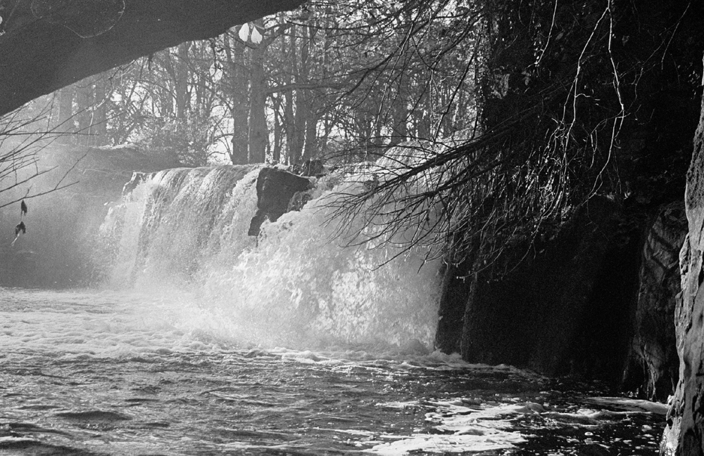 By some accounts, the stretch of the White Cart Water flowing through the park only supported one mill, a snuff mill. However mills did much more than grind snuff. Basically they were sources of power for almost any industrial process. Snuff milling was one of many mills in the park area, including paper, meal, flour, barley, pease, waulk, saw mills, bleachfields and printfields.
It is often said that every part of Glasgow has been undermined at some time, and at some level, by mineral workings. In Linn Park these workings were numerous, early and shallow. The author’s guided walks, for the annual Scottish Geology Week and others, identified a deep interest in Linn’s landscape and minerals. Mineral working had a big impact on the land which makes up Linn Park.
Overview of Lands
An Overview of the Lands making up Linn Park, including developments in the last three centuries starting with the exploitation of minerals and farming improvements in the 18th century, becoming a country estate, and finally in the 20th century being purchased by Glasgow City Council and turned into a park.